Blog · 2 November 2026
How to tell a latrine block from a classroom block in satellite imagery
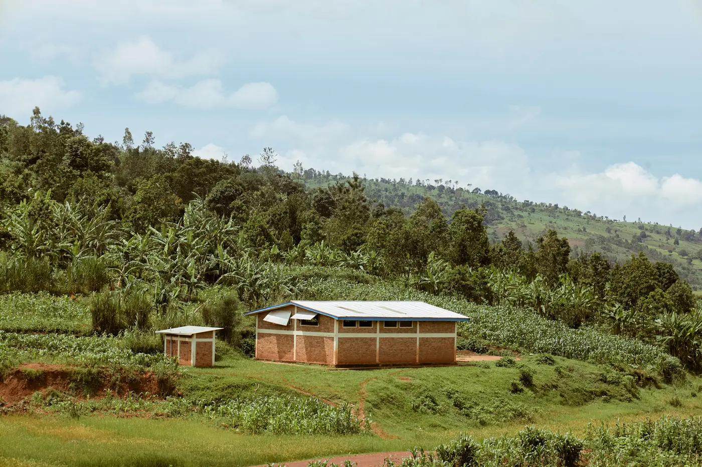
If you've spent an afternoon squinting at a school compound in VHR imagery trying to work out which low rectangular building is the latrine block and which is the last classroom, you're not missing something obvious. At 0.3 m resolution both are often metal-roofed, single-storey, and roughly the same shade of rust or grey. The difference is in the details you learn to look for, not in some single obvious feature.
Roofline is the first tell
Classroom blocks are long, single-span buildings with a continuous ridge line and evenly spaced roof sheets running the full length of the structure. A typical primary school classroom block might run 20 to 30 metres, housing three or four rooms under one unbroken roof.
Latrine blocks are shorter and often narrower, frequently under 10 metres, and the roof sometimes shows a thin gap or raised strip along the ridge. That gap is the ventilation stack on a VIP latrine design, and in high-sun imagery it throws a faint dark line down the spine of the roof that a classroom roof won't show. It's subtle, maybe two or three pixels wide at 0.3 m GSD, but once you've spotted it on a confirmed latrine block it becomes easy to pick out elsewhere.
Door spacing is the second tell, and it's more reliable than the ridge line when sun angle is poor. Classroom doors sit 6 to 8 metres apart, one per room. Latrine stalls are narrower, so doors (or the shadow where a door would be) repeat every 1 to 1.5 metres across a run of four to eight stalls. Count the shadow breaks along the front wall. A tight, repeating rhythm of small shadows means stalls. Wide, even gaps mean classrooms.
Where the building sits tells you almost as much as what it looks like
Position in the compound carries a lot of signal. Latrine blocks are usually set at the edge of the school grounds, often at the lowest point of the plot or downslope from the main teaching block, and frequently separated from classrooms by open ground or a path. Classroom blocks cluster near the assembly ground or flagpole, and you'll often find a borehole or elevated tank stand close by, since that's what the water point serves.
If you see a short, narrow-doored building sitting apart from the main cluster near the compound boundary, that positioning alone is doing a lot of the identification work before you even look at the roofline. Conversely, a building of the same size sitting in the middle of the teaching block row, flanked by two classrooms, is almost certainly not a latrine even if the roof shape looks ambiguous.
When the signal is weak
Some compounds complicate this. Newer latrine blocks built with ventilated improved pit designs sometimes use a longer footprint to fit more stalls, which can start to resemble a short classroom wing. Older schools sometimes converted a former classroom into a latrine block or store, so the footprint tells you its history rather than its current use. In both cases, shadow and door spacing still carry more weight than footprint length on its own, and a compound with a confirmed water point nearby tips the read toward sanitation infrastructure rather than teaching space.
None of this replaces a field visit for confirming condition, but it's enough to prioritise which compounds need one first and which can wait. Scanning this by eye across a whole district, one school at a time, is the part that eats a week. Sanitation Mapping is built to turn one annual VHR pass over your district into a dated, located point inventory of every latrine block, borehole and tank stand that shows up on the imagery, so the roofline reading above is work you do once per site type rather than once per school.
If you're staring down a district with a hundred schools and no idea which ones to check first, that inventory is a reasonable place to start.