Blog · 8 October 2026
What is a functionality survey in WASH programming?
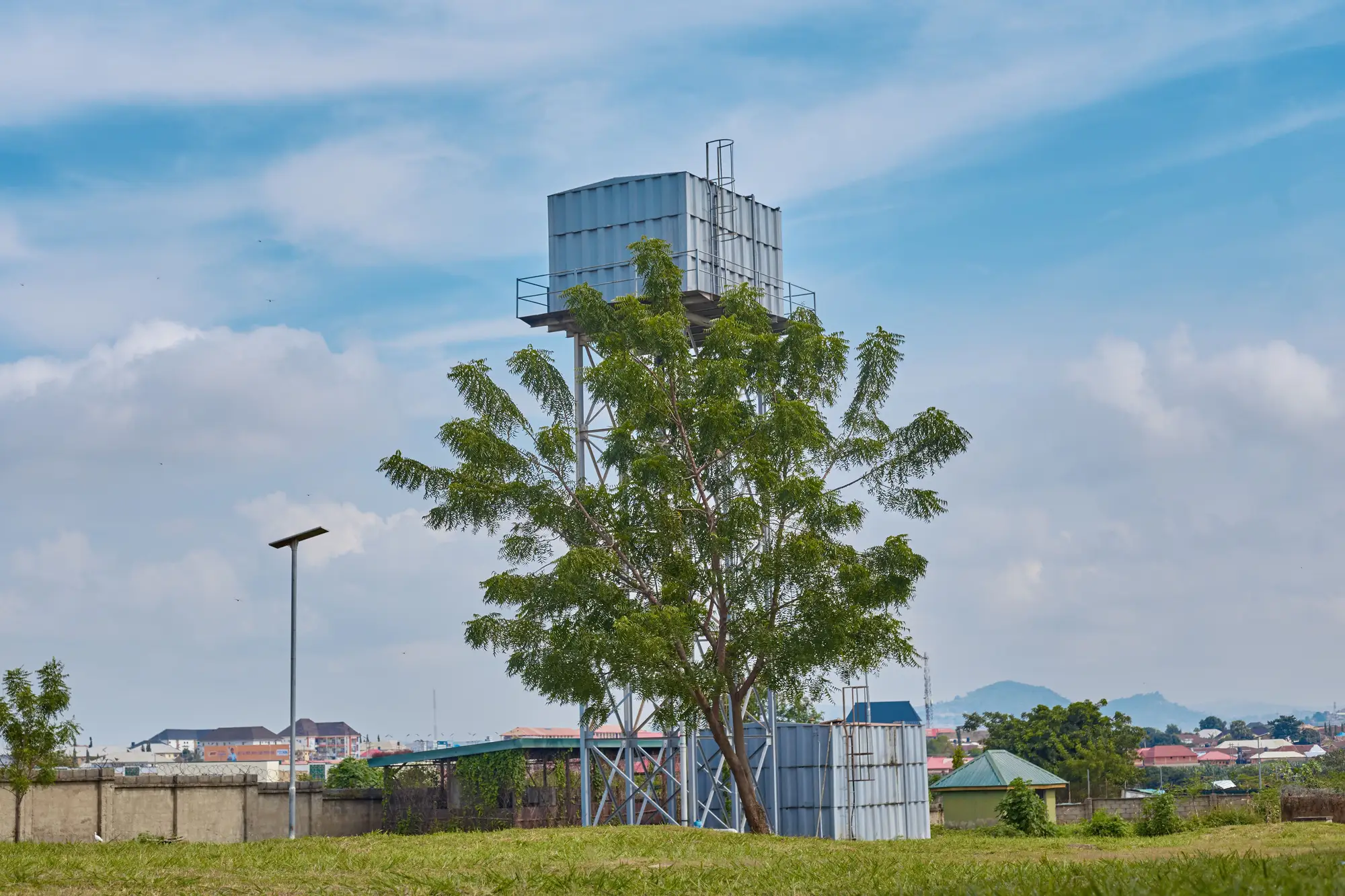
A functionality survey is the exercise that tells a programme whether the water points and sanitation infrastructure on its register are doing their job. It sits downstream of an inventory, not alongside it. An inventory tells you what exists and where. A functionality survey tells you whether what exists is working right now: does the handpump raise water, does the latrine block still have a door and a working slab, does the tank stand deliver flow at the tap during the hours people show up for it.
In a lot of district programmes these two things get blurred together, usually because the register that would let you run a functionality survey efficiently doesn't exist in a usable form. It was built for a handover report five years ago, half the coordinates are wrong, and nobody has added the three boreholes a different NGO drilled in 2022.
What a functionality survey checks
A standard functionality survey sends an enumerator to each point on the list with a short checklist. For a handpump that usually covers: does it raise water at all, how long is the queue or wait, is there visible damage to the rising main or cylinder, has the community reported breakdowns in the past year, and who, if anyone, is responsible for repairs. The output sorts each point into a status: functional, functional but needs minor repair, non-functional, or abandoned. Some frameworks add a fifth category for seasonal points that run dry for part of the year but work the rest.
For latrines and sanitation infrastructure the checklist shifts toward structural condition and use: intact superstructure, functioning door, pit not full, signs of use versus disuse. It's a different kind of check than a water point, but it's still ground-truth work. Someone has to stand in front of the structure.
This is the part that gets missed when people talk about functionality surveys as if they were a desk exercise. You cannot tell from an office, or from an image of any resolution, whether a handpump raises water today. That takes a person with a bucket and ten minutes.
Why a non-functional handpump survey gives different numbers depending on when you ask
Functionality status moves with the season and with whatever broke last week. A borehole logged as functional in April can be running dry or sitting broken by September, with nothing about the physical structure having changed in between, only the water table and the last repair. A handpump with a cracked seal might still raise water, just slower, and an enumerator passing through at the wrong hour can log it as functional when the community waiting in the queue would describe it differently.
Recall bias compounds this: a caretaker asked when the pump last broke will usually describe whichever breakdown stuck in memory hardest, and that's often an old, dramatic failure rather than last month's quieter one. Two surveys run six weeks apart, by different teams, can produce genuinely different non-functional counts for the same district without either one being wrong. That's just what the data looks like when the thing you're measuring changes month to month.
Where the survey runs out of road
None of this works if the list you're surveying off is incomplete. A functionality survey can only report on the points it knows to visit, and in an under-mapped district the gap between the official register and what's built on the ground is usually bigger than anyone wants to admit. Points get drilled and never logged. Latrine blocks go up through a different programme's budget line and show up nowhere. The enumerator walks past structures that aren't on their clipboard because nobody told them to look.
That gap is worth closing before you schedule the field visit, not after. A yearly pass over the district that turns up every borehole, tank stand and latrine block visible from above won't tell you which pump is broken, but it will tell you where to send the team first instead of walking the whole area on guesswork.
If your register has more gaps than your field budget can close by driving around blind, that's the problem Sanitation Mapping was built to solve.